
Finding Who Lives on Salt Lake County Streets
Begin with the address you can state exactly, including a unit if one is known. Salt Lake County’s street files can confirm street spelling, type, direction, range, ZIP, aliases, and jurisdiction. USPS can validate the delivery address, but its own warning says a match does not prove that a person or company is there. The public record trail then moves from place to parcel and only after that to names.
- Run the street and unit through USPS address lookup, recording the returned city and ZIP.
- Check the county monthly street text file for street type, direction, range, alias, ZIP, and jurisdiction.
- Search the Salt Lake County Assessor by address, select the autocomplete result, and save the parcel ID and displayed owner or mailing fields.
- Open the county GIS viewer, identify the parcel, and inspect nearby parcels one at a time.
- Use the Recorder property search for documents, then check the right city or county permit custodian and any historical directory shelf.
This sequence is the backbone of a street directory search. It creates a source trail rather than a pile of names. If the question becomes “which record confirms one person,” shift to the Salt Lake County resident lookup route, where name matching and access limits take the lead.
Assessor Fields for an Address
The Assessor’s visible search controls are Owner, Address, and Parcel Number. Owner is labeled “Last Name, First Name.” Address accepts an address or parcel number through an autocomplete choice. Parcel Number follows the displayed pattern `00-00-000-000-0000`. Search and Reset are separate controls. Keep a screen capture or note of the exact result because the online historical cutoff and a complete result-card schema were not located in the official material.
| Field | Address-search use |
|---|---|
| Owner | Enter Last Name, First Name when a property owner is already known |
| Address | Enter the street address or parcel number, then choose the county autocomplete result |
| Parcel Number | Use the county format 00-00-000-000-0000 |
| Displayed parcel context | Capture only what the result shows, such as situs, owner, mailing address, legal description, value, or building detail |
Property ownership is not the same as occupancy. A mailing address can belong to a different place, a parcel can be held by an entity, and a directory entry can be old. The Assessor gives a strong starting point for the address record chain, not a complete resident roster.
Note: The county’s property search is public and no search fee was shown, but displayed fields and historical coverage should be checked at the time of use.
GIS Layers Around a Parcel
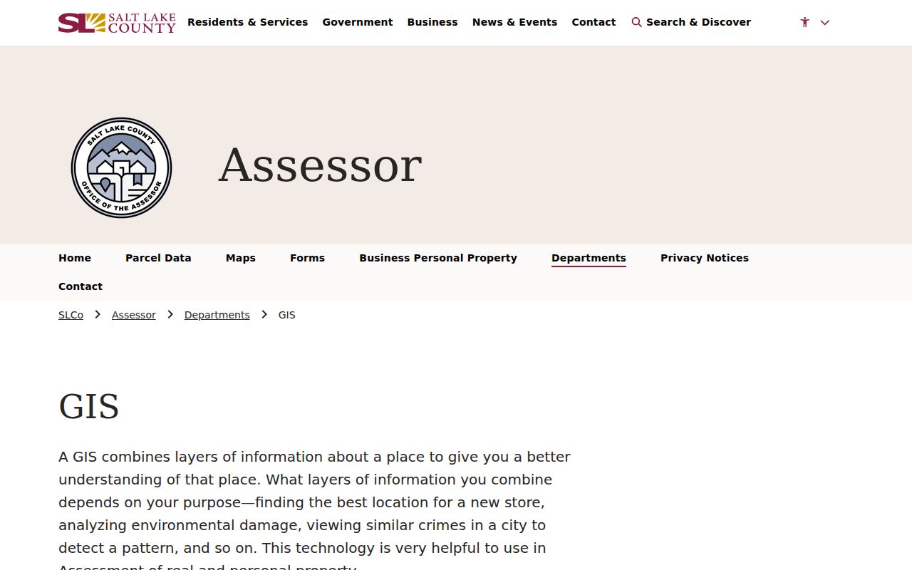
The Salt Lake County parcel viewer supports click-to-identify details, Point and Buffer tools, distance in feet, parcel selection, pan and zoom, drawing, and print or export. Basemap choices include Street Map, Aerial Imagery, Topo Map, and dated fall imagery from 2012, 2013, and 2014. County layers and pictometry can add context. A buffer is a way to define a nearby area, not proof that every parcel touches the target lot.
Use the viewer as a map aid. Record parcel IDs and situs addresses in a private worksheet, compare the fields on adjacent parcel cards, and verify a shared line, easement, right-of-way, or plat through the Recorder or County Surveyor. The GIS page warns that the map is informational and a one-time capture may not include ongoing updates. Imagery is not a survey.
The county’s GIS resources page explains how parcel mapping, legal descriptions, and recorded plats relate.
Salt Lake County Records by Street
A street directory becomes useful when each source has a defined job. The coverage table below pairs the address clue with the custodian and the type of fact it may return. The records do not all use the same time span or definition of a household.
| Record set | Keeper | Street-level clue | Access |
|---|---|---|---|
| Assessor property search | County Assessor | Parcel, situs, owner or mailing context | Public online search |
| Parcel map and layers | Assessor GIS | Adjacent parcels, imagery, plats, jurisdiction | Public viewer |
| Deeds, liens, plats | County Recorder | Grantor, grantee, instrument, legal description | Free property search, paid copies or data packages |
| Street text files | County Addressing | Ranges, aliases, ZIP, jurisdiction, changes | Monthly public files |
| Permits and inspections | City or county custodian | Address history, work records, attachments | Portal or defined request |
| Historical directories | Libraries and archives | Past name and address listings | Collection-specific access |
A parcel number can connect an Assessor result to a Recorder search. A street file can explain why the address is in a county or city system. The County Archives can fill older gaps with tax cards, deeds, maps, and related series, but it does not make the different records into one current list.
Deeds, Liens, Plats, and Legal Descriptions
The Recorder’s free public search uses an address or parcel number selected through autocomplete and requires agreement to its terms. It returns a quick list of recorded documents on a property. The county cautions that property information can be 24 hours or more old and that a title search may be appropriate. For richer access, Data Services describes a $5 small package with 150 data units and 24 hours, larger packages without a time limit, and document images generally available the next working day. Confirm current pricing at order time.
The permanent index descriptions provide a reliable field vocabulary: grantor and grantee, instrument or document type, filing and record dates, volume and page, consideration when present, and section, lot, township, block, or plat. A grantor transfers an interest; a grantee receives it. A legal description identifies the land in words that control over a street label. A plat is a recorded map of lots, streets, or rights-of-way.
The Recorder free property search is the address-first entry to the document index.

Recorder copies are listed at $2 per page, historical or vault copies at $5 per page, and certification at $5 plus $2 per page. A street directory should name these as access details, not imply that a paid copy proves a current occupant.
Permits Follow the Jurisdiction
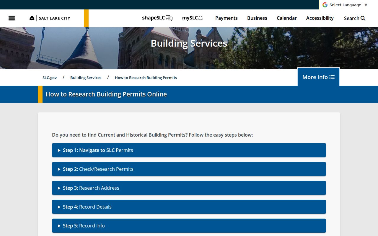
For an address inside Salt Lake City, Building Services says post-2007 permits use Citizens Access. The historical portal is Building Permit History. Search by address or permit number, open the red Record Number, then use Record Info and Attachments. City guidance describes public permit and inspection reports generally from 1979 forward and says some records are retained for seven years. Missing or older material belongs in a defined SLC GRAMA request.
County Archives holds county permit material from 1970 through September 2019 and application cards from 1948 through 1969. The older cards require the original owner or builder plus the build date and do not include the permits themselves. Before 1948, a complete county permit trail should not be assumed. These differences explain why a street search can show a gap without proving that no building work occurred.
The Salt Lake City permit research instructions show the address and attachment path.
Street Names, ZIPs, and Boundaries
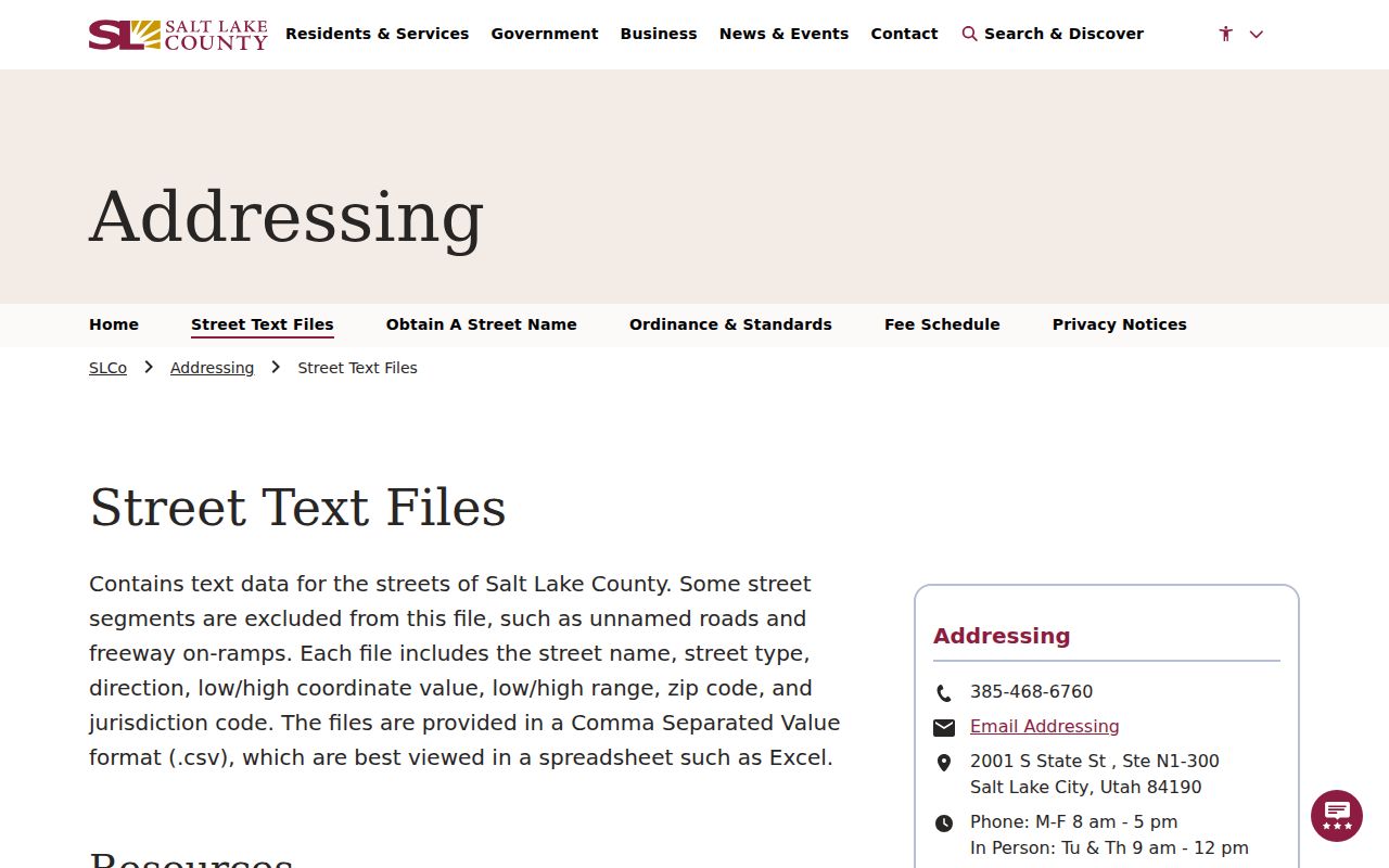
Salt Lake County Addressing publishes monthly street text files with street name, type, direction, coordinate and address ranges, ZIP, jurisdiction, aliases, and additions or deletions. Updates occur by the fifth of the following month. The office lists 385-468-6760, a 2001 S State St, Suite N1-300 location, weekday phone hours, and in-person service Tuesday and Thursday from 9 to noon. Use the file to normalize a name before searching a parcel or deed.
USPS has separate By Address, By City and State, and Cities by ZIP tools. The county’s planning and mapping sources also differ from delivery geography. A ZIP can cross a city boundary, while an unincorporated place such as Kearns, Magna, or White City may use county systems for some functions. Check the address, parcel, city boundary, and street-file jurisdiction before routing a request.
The county street text-file page describes the monthly address and ZIP data.
Tax Cards and Older Street Evidence
County Archives says an Assessor address or tax parcel can reveal the year a house was built. Tax appraisal cards begin in 1936 and document building history, including duplex or triplex status. Residential and commercial photographs run from 1936 into the 1980s. Archives tax records reach from 1853 through the previous year; through 1985 they show tax value only, while 1986 forward includes market and tax value. Utah’s non-disclosure rule means a deed consideration field is not a complete final sale-price dataset.
Pair a card with a deed, plat, permit, newspaper notice, or Sanborn map. The sequence matters because each item has a different keeper and date range. If a historical record is missing, use the County GRAMA route for a defined address, parcel, record series, and date range. The county lists a response within 10 business days, five for media, the first 30 minutes of staff time free, then $25 per hour.
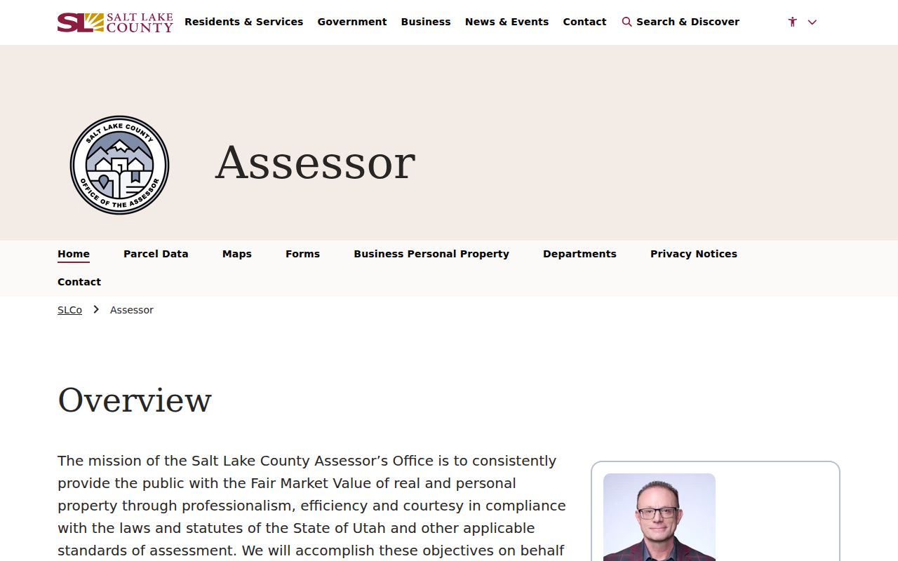
The county’s Assessor property search is the current starting point for a parcel-based street history.
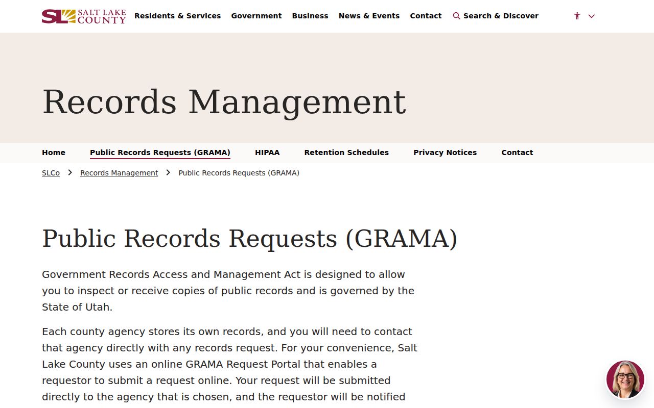
The Salt Lake County GRAMA page provides the county’s request timing and fee guidance for missing street records.
Historical Address Pages
Post-1924 Polk city directories can support house-history work through their reverse or address pages, historically called the “pink pages.” Utah Historical Society guidance says directories can list people by address and by name, but the volumes were compiled through surveys and published irregularly. A directory listing is a dated clue, not present-day proof. The separate historical directory page holds the collection details so this street-focused route can stay with the address chain.
For local context, Salt Lake City Public Library Archives has microfilm newspapers, clippings, maps, photographs, ephemera, and scrapbooks. The library’s listed newspaper runs include Deseret News from 1867 to January 2015 and Salt Lake Tribune from 1959 to January 2015. Chronicling America lists Salt Lake Telegram holdings from 1915 to 1952. Search by street variant, neighborhood, surname, funeral home, or approximate date, then verify an obituary or notice through a permitted official record.
What a Street Directory Cannot Show
A street directory cannot establish every person who lives in a home. The Assessor shows property facts. The Recorder shows filed instruments. A voter file shows public fields for registered voters, with protected values withheld. A permit may name an owner, builder, or applicant without showing a household. Utility account-holder data were not located as an open named county list. Driver information is restricted by the federal Driver’s Privacy Protection Act.
- Parcel
- A mapped land unit with a parcel number and legal description.
- Situs address
- The physical location used to place property, distinct from a mailing address.
- Plat
- A recorded map that can show lots, streets, dedications, or rights-of-way.
- Criss-cross directory
- A historical address or street arrangement that can help trace past occupants when that volume includes the section.
Lawful use. Address and ownership records are for personal, lawful research, family history, civic context, and safety awareness. Do not use a street search to stalk, harass, intimidate, or harm anyone, and do not try to reverse a protected substitute address.
Note: A name, mailing address, owner field, and directory entry can point to the same place without proving that they describe the same person today.