
Salt Lake County ZIP Code Areas
ZIP geography has several official views. USPS controls delivery lookup. The Utah Geographic Reference Center publishes polygon data. Salt Lake County Addressing publishes street ranges and jurisdiction. A 2020 Utah health-planning crosswalk groups ZIPs with planning areas. These sources are useful together only when their purpose and date are named.
| ZIP or group | Areas shown in research | Source | Note |
|---|---|---|---|
| 84116, 84122 | Rose Park | 2020 planning crosswalk | Planning geography, not delivery proof |
| 84106, 84152 | Sugar House | 2020 planning crosswalk | Verify current USPS result |
| 84117 | Holladay | 2020 planning crosswalk | Community label does not settle a city boundary |
| 84020 | Draper | 2020 planning crosswalk | Use parcel and city data for jurisdiction |
| 84096 | Herriman | 2020 planning crosswalk | Dated reference only |
| 84190, 84114, 84148 | Delivery or unique ZIP examples | Utah geocoding material | Keep separate from residential area ZIPs |
The 2020 crosswalk also lists downtown groups such as 84101, 84102, 84111, 84112, 84113, 84114, 84133, and 84147; Kearns 84118; Midvale 84047; Sandy groups including 84070, 84090, 84092, 84093, 84094, and 84095; and many West Valley, West Jordan, South Jordan, Murray, and Millcreek areas. Treat those labels as cited planning examples, not permanent city limits.
Validate an Address by ZIP
Start with USPS before matching a person or organization to a ZIP. The By Address form uses optional company, required street address, optional apartment or suite, required city and state, optional ZIP, and Find. The service warns that a result does not confirm a person or company at an address and that a unit may be needed when several matches appear. A returned ZIP establishes a delivery result, not identity.
- Enter the street, city, state, and unit in the USPS ZIP lookup.
- Compare the returned ZIP with the county street file’s range, alias, and jurisdiction.
- Check the UGRC ZIP polygon and note its update date.
- Use the Assessor or parcel map to confirm the legal parcel and municipality.
- Only then use a ZIP-capable business, civic, or public-record route.
This five-part ZIP code workflow reduces false matches caused by old street names, postal city labels, units, and boundary changes. If the final task is street-by-street, move to the Salt Lake County street directory route after the ZIP is confirmed.
Salt Lake County ZIP Research Notes
A ZIP result should be saved with the date and the exact address entered. Salt Lake County’s street files are monthly, while the statewide ZIP polygon product and USPS lookup serve different purposes. If a boundary appears surprising, compare the address in USPS ZIP Code Lookup, inspect the current UGRC boundary layer, and then check the county street file for the range and jurisdiction. Keep the city label exactly as returned, but do not treat it as proof of municipal limits. A ZIP can serve addresses in more than one local-government area, and a mailing city can differ from the incorporated city a researcher expects.
For a person or organization search, preserve the distinction between an address match and a name match. A business listing can show a registered address, whereas Census QuickFacts supplies area context rather than an address roster. If the intended question is whether a property lies in a particular municipality, use the county or city GIS boundary source. If the question is whether mail should be addressed to a ZIP, use USPS. Those separate checks prevent a ZIP directory from carrying more meaning than the source actually supports.
USPS Fields and AIS Output
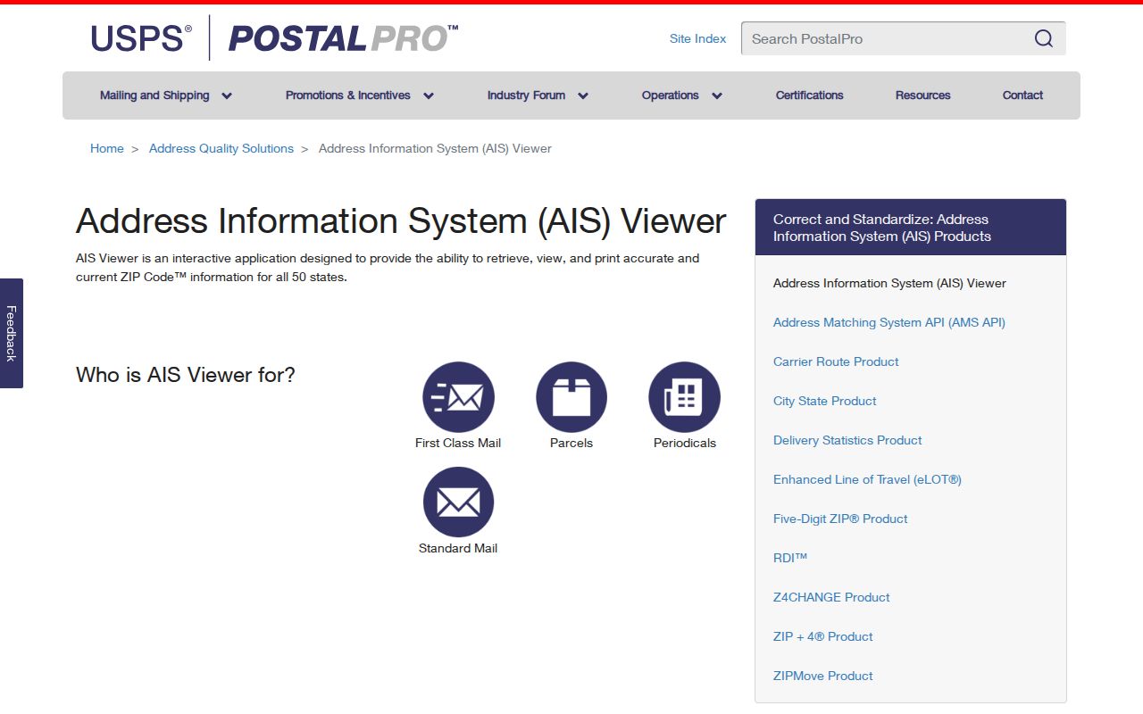
USPS provides three ways to frame a ZIP search: by address, by city and state, or by cities by ZIP. The Address Quality AIS Viewer can return ZIP, ZIP+4, carrier route, county code, delivery point, and check digit through an address lookup or report route. Keep the response as a dated address-quality result. Do not turn it into a person or business verification.
| Input or output | Meaning in the ZIP search |
|---|---|
| Street Address | Required USPS delivery input |
| Apt, Suite, or Other | Optional unit detail that can resolve multiple matches |
| City and State | Required delivery context |
| ZIP and ZIP+4 | Delivery geography, with ZIP+4 adding a finer code |
| Carrier route, county code, delivery point, check digit | Address-quality fields from the AIS Viewer route |
The USPS AIS Viewer is the source for address-quality and delivery fields.
2025 ZIP Map Refinements
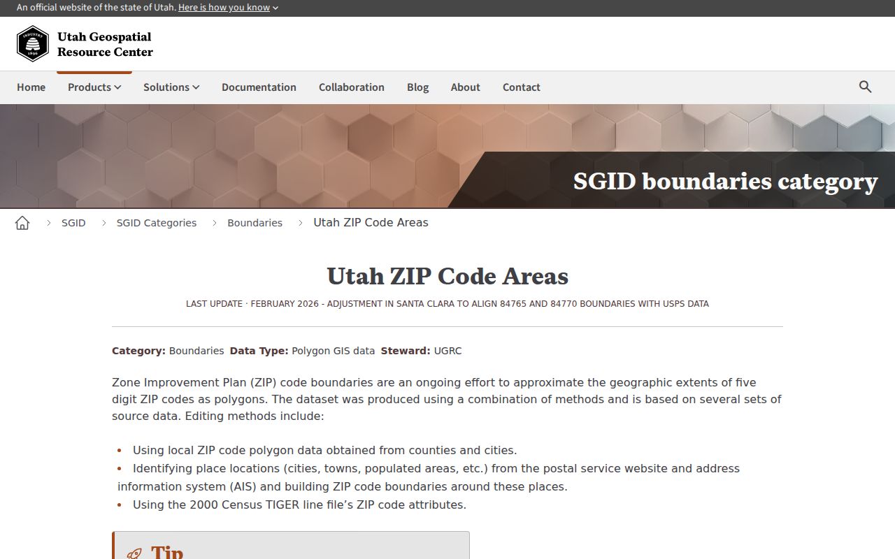
UGRC records recent changes that matter for Salt Lake County research. November 2025 west-side polygons were improved to better align with county address points. June 2025 adjusted Salt Lake, Summit, and Washington boundaries. Earlier notes record a 2015 split of 84095 South Jordan along Bangerter Highway to create 84009, and a 2008 84081 change carved from 84084 and 84088.
These are map and delivery-geography changes, not proof that a person moved or that a city boundary changed in the same way. A current planning table can disagree with an older polygon because the products were built for different purposes. Preserve the update date and use USPS when delivery is the question.
The Utah Geographic Reference Center ZIP polygon page records the 2025 boundary refinements.
County Street Files Add Range Detail
Salt Lake County Addressing publishes monthly street CSVs and cumulative year-to-date files. Fields include street name, type, direction, low and high coordinates, low and high address range, ZIP, jurisdiction, aliases, and additions or deletions in monthly change files. Updates occur by the fifth of the following month. Unnamed roads and freeway ramps may be excluded. The office lists 385-468-6760 and in-person service Tuesday and Thursday from 9 to noon.
Use this source to catch a directional suffix, alias, range break, or jurisdiction change before a name search. A ZIP code directory built from a static list can miss these details. Pair the street file with the Assessor map and municipal boundary data, then save the file date with the address.
ZIP and City Limits Are Different
A ZIP code follows delivery geography. A city limit follows a legal boundary. A planning area follows an analytical design. A parcel follows a legal description. Those lines can overlap without matching. Salt Lake County’s many cities and unincorporated places make this distinction important. Kearns, Magna, White City, Millcreek, and nearby incorporated areas can route permits, licenses, council records, and public requests to different custodians.
- ZIP
- A postal delivery area used for routing mail.
- ZIP+4
- An added four-digit delivery code that refines the five-digit ZIP.
- Unique or delivery ZIP
- A ZIP used for a special delivery or institution context, such as the cited examples 84190, 84114, and 84148.
- Carrier route
- A USPS address-quality field associated with delivery routing.
Do not overread a ZIP. A ZIP result does not prove a person, household, company, occupancy, or city boundary. Confirm the parcel, unit, municipality, and source date before drawing a connection.
ZIP-Filtered Utah Organizations
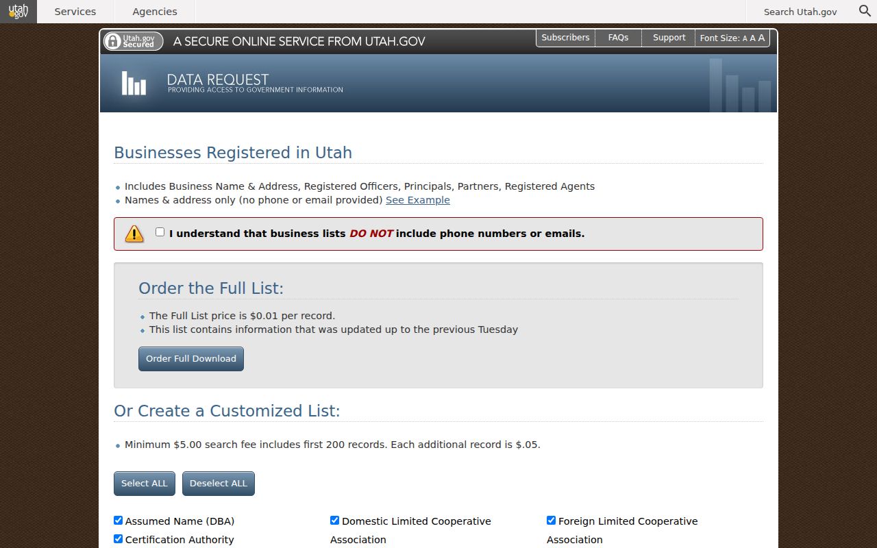
The Utah business-list request is the strongest official ZIP-filtered organization route in the research. It supports comma-separated ZIP codes, entity type, NAICS codes, status, changes in the last 31, 90, or 365 days, and new registrations in those windows. Public fields include names, addresses, registered officers, principals, partners, or agents. The state says phone and email are not included.
The full list is priced at $0.01 per record. A custom list has a $5 minimum for the first 200 records and $0.05 per added record. The page displayed a date cap of August 24, 2026, so save the query date and recheck current pricing. A registered agent is a filed contact role, not automatically an owner or operator.
The Utah business list request shows the ZIP and entity filters.
ZIP Context from Census Data
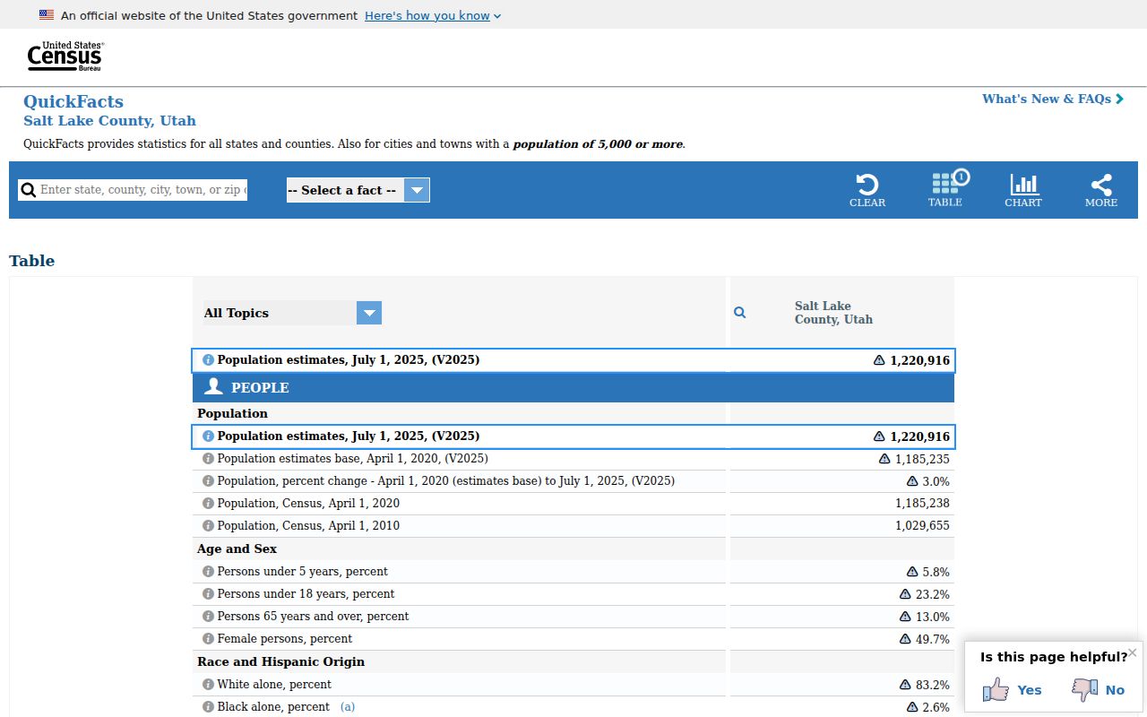
The U.S. Census Salt Lake County QuickFacts page supplies dated county population and demographic context. It is not a live resident record and does not replace USPS, the Assessor, voter status, or a city directory. Use it to describe the county as a whole, not to infer a person from a ZIP.
The dated Census QuickFacts source provides county-level context for a ZIP geography discussion.
Note: The live voter-status tool does not advertise a direct ZIP search, and the current Salt Lake County statistics workbook values were not extracted.
What the ZIP Directory Cannot Prove
A ZIP code directory cannot establish that a person lives at an address, that a business operates there, or that a postal city is the legal municipality. It cannot replace the Assessor’s parcel search, the Recorder’s legal documents, the County Clerk’s public voter fields, or a city’s permit record. It also cannot turn a planning crosswalk into a current delivery file.
For a dated organization search, validate the address with USPS, check the county street file, inspect the current polygon, then run the official business or license filter. For a person, use a separate resident lookup with a name, date, and lawful record purpose. For protected records, follow the custodian’s access rules rather than combining public geography to infer private detail.