
Sources for Past Salt Lake County Residents
One address can leave evidence in several county and city series. Start by writing the current street, unit, ZIP, municipality, parcel, and known date. Then choose the source that reaches farthest back without claiming continuous coverage. The table separates what a source shows from where it is held.
| Source | Years it covers | Where held | What it shows |
|---|---|---|---|
| Recorder deeds and index | County historical material from 1852; online cutoff not stated | Salt Lake County Recorder | Grantor, grantee, instrument, dates, legal description, volume/page |
| Tax cards and tax records | Cards begin 1936; taxes 1853 through previous year | County Archives and Assessor | Building history, values, property context |
| Polk reverse directories | After 1924 where the volume has address pages | Utah Historical Society and Marriott Library | Address and name listings, historical snapshot |
| County Archives online series | Deaths 1847-1949; marriages 1887-1904; land 1851-1895 | County Archives | Historical identity, land, and event clues |
| Newspapers and maps | Runs vary by title; Sanborn gap noted 1911-1950 | Library, UHS, and local archives | Notices, street changes, buildings, community context |
This is an evidence ledger, not a promise that every address has every record. County Archives visits are by appointment at 385-468-0820. The Recorder’s exact online historical cutoff was not located in official sources, and Archives says staff will not perform a researched property history for a requester.
Work Back Through the Deed Chain
Use the Recorder’s free property search with an address or parcel number selected through autocomplete. The county says the free route gives a quick list of recorded documents and warns that property information may be 24 hours or more old. Data Services adds a richer subscriber path, with a $5 package for 150 data units and 24 hours, larger packages without a time limit, and images generally available the next working day. Confirm current fees and timing before ordering.
- Find the parcel and copy its situs, parcel number, and legal description.
- Open the Recorder property search and list the newest documents first.
- Read the latest instrument, noting grantor, grantee, instrument type, record date, and legal description.
- Use the prior grantee as the next search clue, checking volume/page or instrument details.
- Stop and explain a gap when a name, legal description, entity, or missing image prevents a clean link.
A chain of title is the sequence of recorded interests in land. Grantor names the transferring party; grantee names the receiving party. A legal description controls the land identity more closely than a modern street label. Keep deed parties separate from directory occupants and tax-card observations.
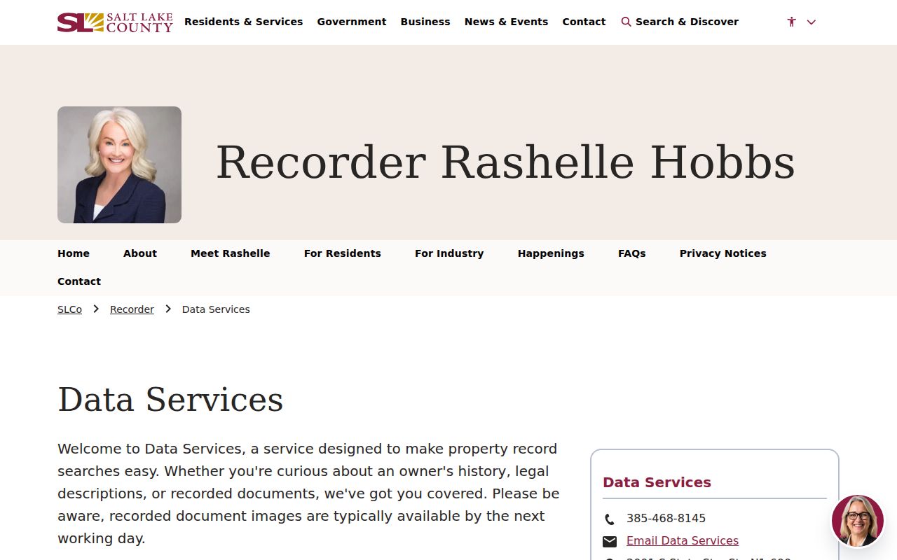
The Recorder Data Services page describes access choices for an address-based property history.
Tax Cards Put a House in Time
County Archives says Assessor address or tax-parcel work can reveal the year a house was built. Tax appraisal cards begin in 1936 and document building history, including duplex or triplex status. Residential and commercial photographs run from 1936 into the 1980s. County tax records reach from 1853 through the previous year. Through 1985, the records show tax value only; from 1986 forward, they show market and tax values.
Place the card beside a deed, permit, map, or newspaper notice. Utah’s non-disclosure rule means a consideration field in a deed is not a complete public final-sale-price dataset. The goal is to explain the property trail, not to turn one value or one owner field into a full household history.
Note: An Archives tax card can document a building’s history while leaving the names and timing of individual occupants unresolved.
Polk Pages and Past Households
The Utah Historical Society house-history guide points to Polk city directories after 1924. Their reverse or address pages, historically known as the “pink pages,” are useful when an address is known but a surname is not. Search the address section in each available year, then repeat in the name section to catch a spelling or street-direction change. The verified 1975 Salt Lake City Suburban Directory by R.L. Polk & Co. includes Draper, Granger, Holladay, Hunter, Kearns, Magna, Midvale, Murray, Riverton, Sandy, South Jordan, Taylorsville, Union, West Jordan, and White City.
Directory collections are uneven. The catalog shows examples from 1884, 1890, 1892-93, 1917, 1934, 1953, 1955-59, 1962-68, 1970-75, 1980-83, and later years, but those examples do not prove a complete run. The Salt Lake County city directory page owns the shelf and citation detail. Here, the directory is one stop in a backward address trail.
Pair Directories with Census Years
A household timeline gains strength when a directory year is paired with a census year or another dated source. A directory can show a name and address. A census can show a household count and relationships. A deed can show a property transfer. A newspaper can identify an event. None should be silently used to stand in for the others.
- Set a date band and write every address variant, direction, unit, and neighborhood term.
- Find the nearest available directory name or address page and cite its volume, year, and page.
- Compare the household clue with a census, tax card, deed, obituary, or permitted vital index.
- Mark whether each name is an owner, deed party, directory occupant, relative, business contact, or unknown role.
- Write the unresolved gap instead of filling it with a guess.
County Archives provides older identity routes, including births from 1890 to 1911, deaths from 1847 to 1949, and marriages from 1887 to 1904. State Archives and FamilySearch extend other civil, probate, divorce, and naturalization trails. These sources help test a household story, but their access rules and coverage remain separate.
Sanborn Maps and Street Change
Map evidence can explain why a simple address search breaks. Utah Historical Society research notes a Salt Lake City Sanborn gap between 1911 and 1950. It also describes a street-history change in which Social Hall Avenue became Motor Avenue and later returned to Social Hall Avenue. Pair that change with city ordinances, newspaper notices, directories, and the current parcel map.
A historic map shows buildings, streets, and land-use context for its own map date. It does not establish who lived in a structure. The Sanborn map release source has not yielded a reliable publication date in the research run, so it should be cited for its map-history content rather than labeled as a dated recent announcement.
Archives, Obituaries, and Permits
Salt Lake City Public Library Archives holds local newspapers on microfilm, clippings, photographs, maps, ephemera, and scrapbooks. Its listed local runs include Deseret News 1867 through January 2015 and Salt Lake Tribune 1959 through January 2015. The library notes that only the New York Times has an index in the listed volumes. Search a surname, street variant, neighborhood, funeral home, or approximate date, and then verify a death clue through permitted vital or cemetery access.
Permits depend on jurisdiction and time. Salt Lake City directs post-2007 searches to Citizens Access and older searches to its historical permit portal. The city guidance describes public permit and inspection records generally from 1979 forward. County Archives holds county material from 1970 through September 2019 and application cards from 1948 through 1969, with no permits in that card-only span. A missing permit may reflect a series boundary, not an absent building event.
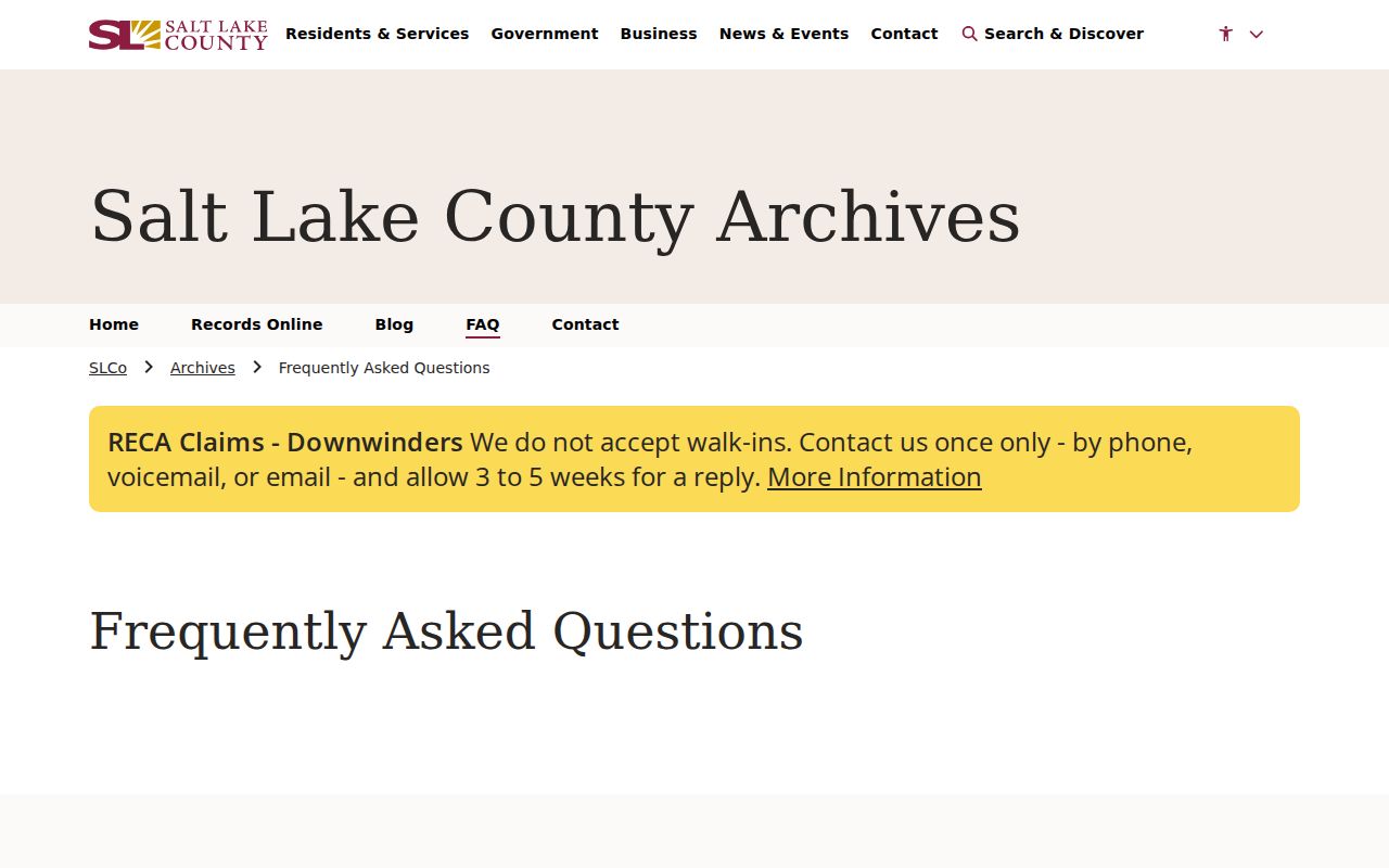
The Salt Lake County Archives FAQ identifies house-history, permit, tax, newspaper, and court referral paths.
Address Gaps Need a GRAMA Request
When a known tax card, permit, deed image, or county series is missing, send a defined request to the custodian. Utah’s Open Records Portal centralizes GRAMA requests and responses. The county page lists a response within 10 business days, or five for media, the first 30 minutes of staff time free, then $25 per hour actual cost, paper copies capped at $0.50 per page, and certification at $10 or the applicable statutory charge. Requests estimated above $50 may require prepayment.
Ask for “all permits and inspection reports for [address] for [date range]” or a defined index, card, instrument, or map series. Include the parcel and address as search aids. GRAMA requests records rather than answers to questions, and they do not bypass protected voter, vital, court, Safe at Home, or other restricted material.
Limits on Previous Residents
Previous residents cannot be counted from one directory, deed, or obituary. A deed party may be an owner, lender, trustee, or another filed role. A directory may list a non-owner occupant, an office, or an old address. A tax card may show a structure without naming its full household. An obituary is a family or news notice, not an official death certificate.
- Grantor
- The party recorded as transferring an interest.
- Grantee
- The party recorded as receiving an interest.
- Chain of title
- A sequence of recorded interests tied to a legal description.
- Legal description
- The formal land description used to identify the parcel in a recorded instrument.
Lawful house history. Use dated records for genealogy, preservation, property history, or civic research. Do not publish protected voter fields, Safe at Home addresses, sealed court details, or unnecessary personal information.
For present parcel work, the street directory route is the current-address handoff. For a past household, keep the volume, page, record date, jurisdiction, and source URL beside every claim. If a year is missing, call it a gap.