
Salt Lake County Block Lookup Sources
Use an address to define the block or nearby area, then keep each source in its own lane. A GIS parcel is a mapped land unit. An Assessor card can show property context. A deed can show a recorded interest. A community organization can show a civic geography. A permit can show a filed project. None is a list of every neighbor.
| Source | What it shows about a block | Access |
|---|---|---|
| County parcel GIS | Adjacent parcels, map layers, buffer, imagery, parcel identify | Public viewer |
| Assessor | Situs, parcel, owner or mailing context, legal and value fields when displayed | Public search |
| Recorder documents | Deeds, plats, liens, easements, rights-of-way, legal descriptions | Free property search, copies and data services |
| Street files | Street range, alias, ZIP, direction, and jurisdiction | Monthly public files |
| Community councils | Recognized civic area, district, map, meeting or contact route | City map and list |
| Permits and archives | Dated work, maps, photos, tax cards, and historical context | City, county, library, or request route |
Start with the parcel and address. Then ask what kind of neighbor question is lawful and useful: which parcels touch, which council serves the block, whether a public permit exists, or how the street changed. Avoid turning a map result into a personal profile.
Identify Adjacent Parcels in GIS
The county GIS viewer offers Point and Buffer tools, distance in feet, click-to-identify details, basemaps, dated aerial imagery, parcel selection, drawing, and print or export. Use the target parcel first, then identify each adjacent parcel one at a time. Record parcel ID, situs address, legal-description relationship, and source date in a private worksheet. A buffer can define a study area, but it does not prove that every parcel touches the starting lot.
- Validate the street, unit, ZIP, and jurisdiction through USPS and the county street file.
- Open the county parcel viewer and identify the target parcel.
- Use the map or buffer to select nearby parcels, keeping each parcel ID separate.
- Compare displayed situs, owner or mailing context, and legal description fields from the Assessor.
- Verify a boundary, easement, or right-of-way through the Recorder or County Surveyor, not aerial imagery alone.
The Salt Lake County parcel viewer demonstrates the map and identify route.
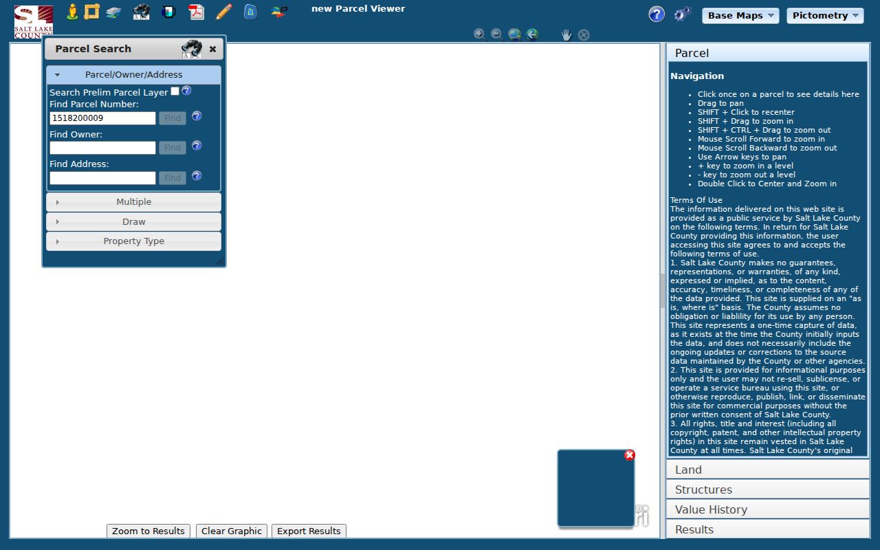
The GIS page warns that the map is informational and may not include ongoing updates. The County Surveyor contact is 385-468-8240. Matching mailing addresses do not prove common ownership, and a nearby name does not establish a personal relationship.
Assessor and Recorder Checks
The Assessor accepts owner, address, or parcel number. Owner is labeled “Last Name, First Name.” Address and parcel searches use an autocomplete choice, and the parcel format is `00-00-000-000-0000`. The result may display situs, owner, mailing address, parcel ID, legal description, value, property type, or building details, but the complete live result-card schema was not captured. Save only fields actually shown.
The Recorder’s free property search accepts address or parcel number and requires agreement to terms. It lists recorded documents for a property. Data Services describes a $5 small package for 150 data units and 24 hours, larger packages, and images generally available the next working day. Deed and plat copies have separate charges. Use the instrument and legal description to test a shared boundary instead of inferring it from a map.
Note: A parcel owner, mailing address, directory occupant, and person present near a property are four different facts.
Salt Lake City Civic Geography
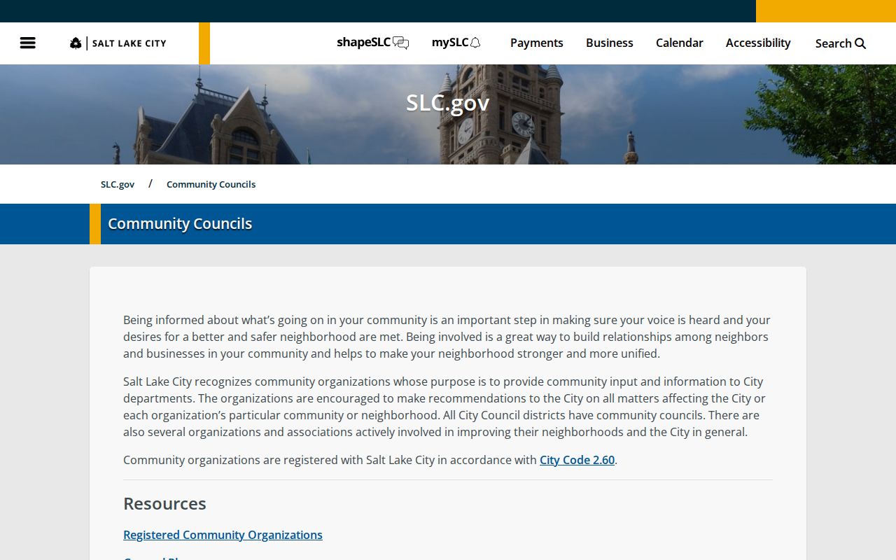
Inside Salt Lake City, the Community Councils page explains that registered community organizations operate under City Code 2.60 and that all council districts have community councils. The interactive map can route an address to council and member information. The registered organization list includes Glendale, Greater Avenues, Jordan Meadows, Liberty Wells, Poplar Grove, Rose Park, Sugar House, Wasatch Hollow, Westpointe, and Westside Coalition, among others.
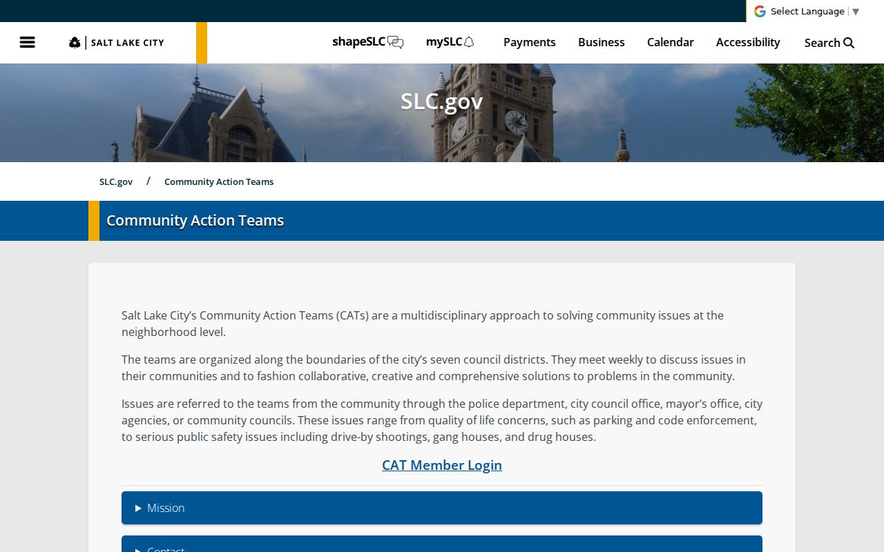
Community Action Teams work along seven council districts on issues such as parking, code enforcement, and public safety. Their records provide civic context, not a private neighbor directory. A person’s attendance, signature, or contact role should be quoted only from its original official record, with its date, and should not be treated as proof of residence for the whole block.
The Salt Lake City community-council source supplies the official civic map and organization route.
Find the Council for an Address
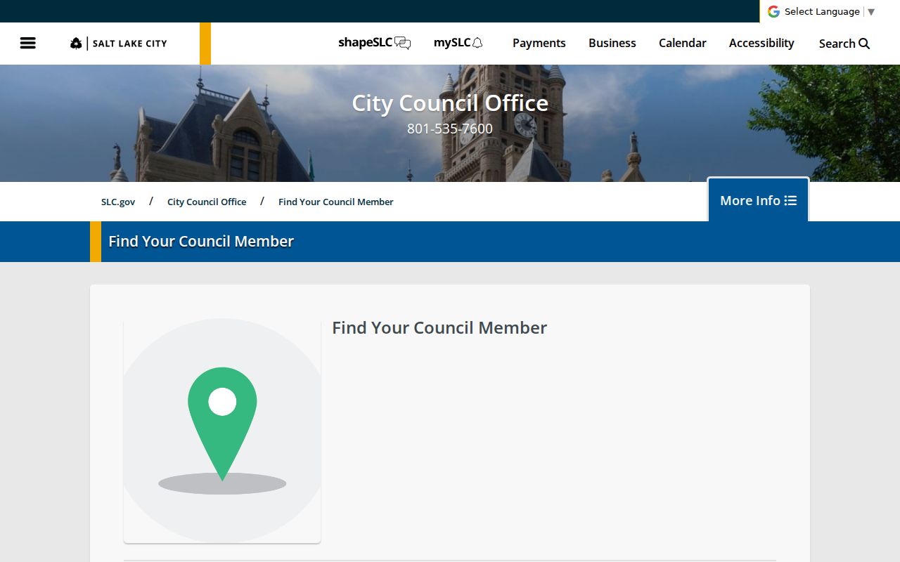
The Salt Lake City council-member address lookup routes a place to council and community information. Use the address only to find the correct public district. Then use the official organization list or council page for contact, meeting, agenda, or minutes information. A ZIP or postal city is not enough to choose a municipal council, especially across Salt Lake County’s incorporated and unincorporated areas.
The city’s address-to-council lookup is the public route for civic geography.
For a block inside another city, use that municipality’s official map and custodian. For Kearns, Magna, White City, or county contexts, confirm which county office handles the record. The correct route changes with the legal jurisdiction.
Permits, Maps, and Block History
Salt Lake City Building Services directs post-2007 permits to Citizens Access and older searches to its historical portal. Search by address or permit number, open the red Record Number, and use Record Info then Attachments. City guidance describes public permit and inspection reports generally from 1979 forward and says some records are retained for seven years. County Archives holds county material from 1970 through September 2019 and application cards from 1948 through 1969.
Salt Lake City Atlas Plats accept a valid city address and show streets, rights-of-way, closures, widenings, vacations, and dedications. Hard copies are available through Engineering at 349 E 200 S, Suite 300, with maps@slcgov.com. Historical maps and library clippings can explain block change. They do not establish that a person lived in a structure.
The Salt Lake City Community Action Teams page supplies dated issue context for public block records.
Burial and Local-History Context
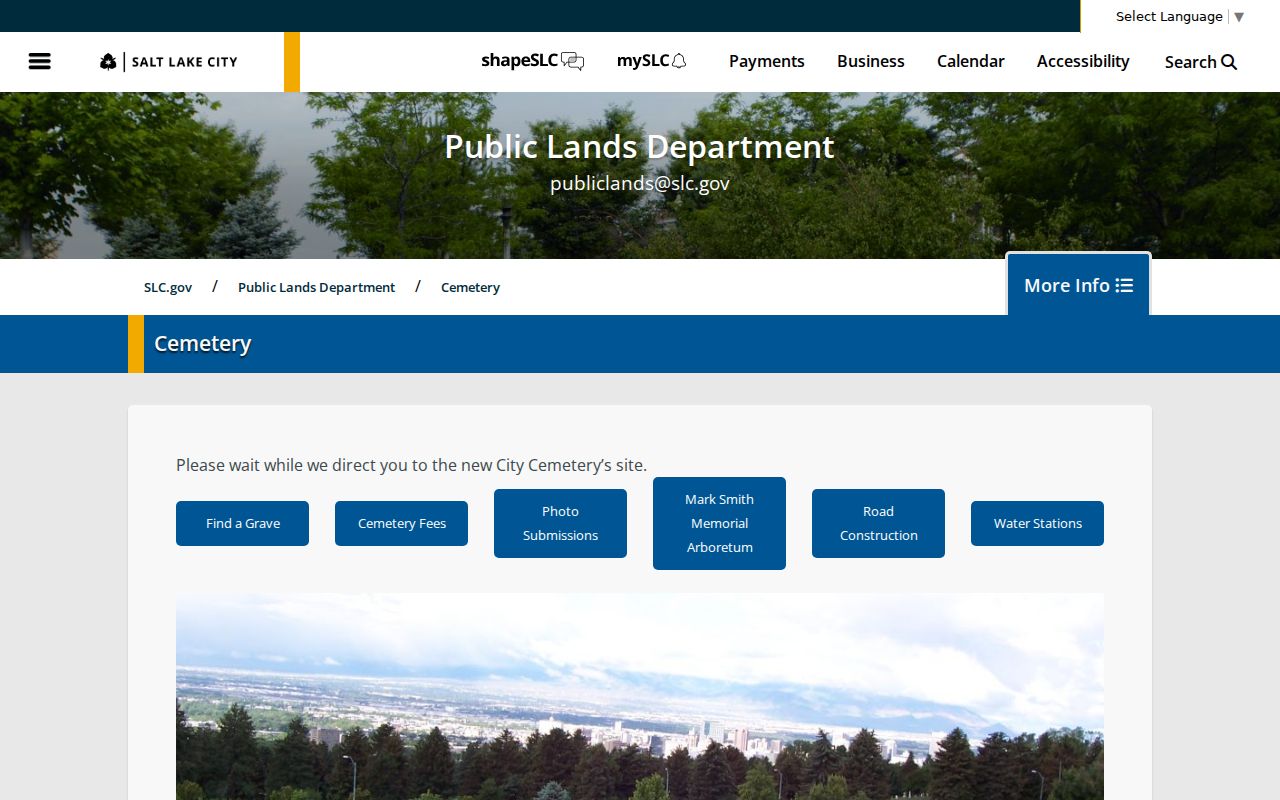
The Salt Lake City Cemetery map accepts a deceased name in Last Name, First Name, Middle Name format and can add multiple deceased entries. Results can provide a burial location, directions, and print view. The cemetery office lists weekday hours from 7:30 to 4 and phone 801-596-5020. A burial location is a place clue for family or neighborhood history, not proof that a person lived on a nearby block.
The Salt Lake City Cemetery map provides the official burial-location search.
Salt Lake City Public Library Archives adds newspapers, clippings, maps, photographs, ephemera, and scrapbooks. Local microfilm runs include Deseret News from 1867 to January 2015 and Salt Lake Tribune from 1959 to January 2015. Search by date, street, surname, or event and preserve the page citation.
Official Rolls and Neighbor Tools
Official records and commercial neighbor tools can both offer leads, but their categories differ. The official trail has a named custodian, a purpose, an access rule, and a source date. Commercial tools may combine old public data, modelled addresses, and unclear update cycles. Neither category should be used to publish a block roster or infer a relationship from proximity.
| Source type | Strength | Limit |
|---|---|---|
| County parcel and Recorder records | Legal parcel, filed owner or instrument, boundary evidence | Not a full occupancy list |
| Community council records | Public civic geography and meeting route | Membership or attendance is not residence proof |
| Permit and tax history | Dated property and building context | Names may be applicants, owners, or builders |
| Commercial neighbor category | May combine many public-data signals | Accuracy, source, age, and lawful-use limits vary |
For a defined public record that is missing, use the county GRAMA route. The county lists 10 business days, five for media, the first 30 minutes of staff time free, then $25 per hour, paper copies capped at $0.50 per page, and possible prepayment over $50. Request an address, parcel, record series, and date range, not a question that asks the agency to build a neighbor list.
Privacy Limits on Neighbor Searches
Public voter fields can include name, physical or mailing address, age range, party status, districts, active or inactive status, and participation history. SSN, state ID, email, full DOB, phone, and signature are protected. Utah’s at-risk designation and Safe at Home program protect people facing safety threats. A substitute address must not be reversed. Courts, vital records, and driver data have separate restricted categories and rules.
Keep the goal narrow. A block map can answer which parcels are adjacent or which civic body serves the street. It should not be used to identify a private household, expose protected information, or draw a personal connection from shared proximity. Verify boundaries with the Recorder or Surveyor, and correct errors with the custodian that holds the original record.
Lawful use. Salt Lake County neighbor research is for personal safety awareness, civic context, family history, and property or place study. Never use an address result to stalk, harass, intimidate, or harm another person.
Note: The county GIS map is informational, and current parcel, permit, voter, and community data should be date-stamped before publication.